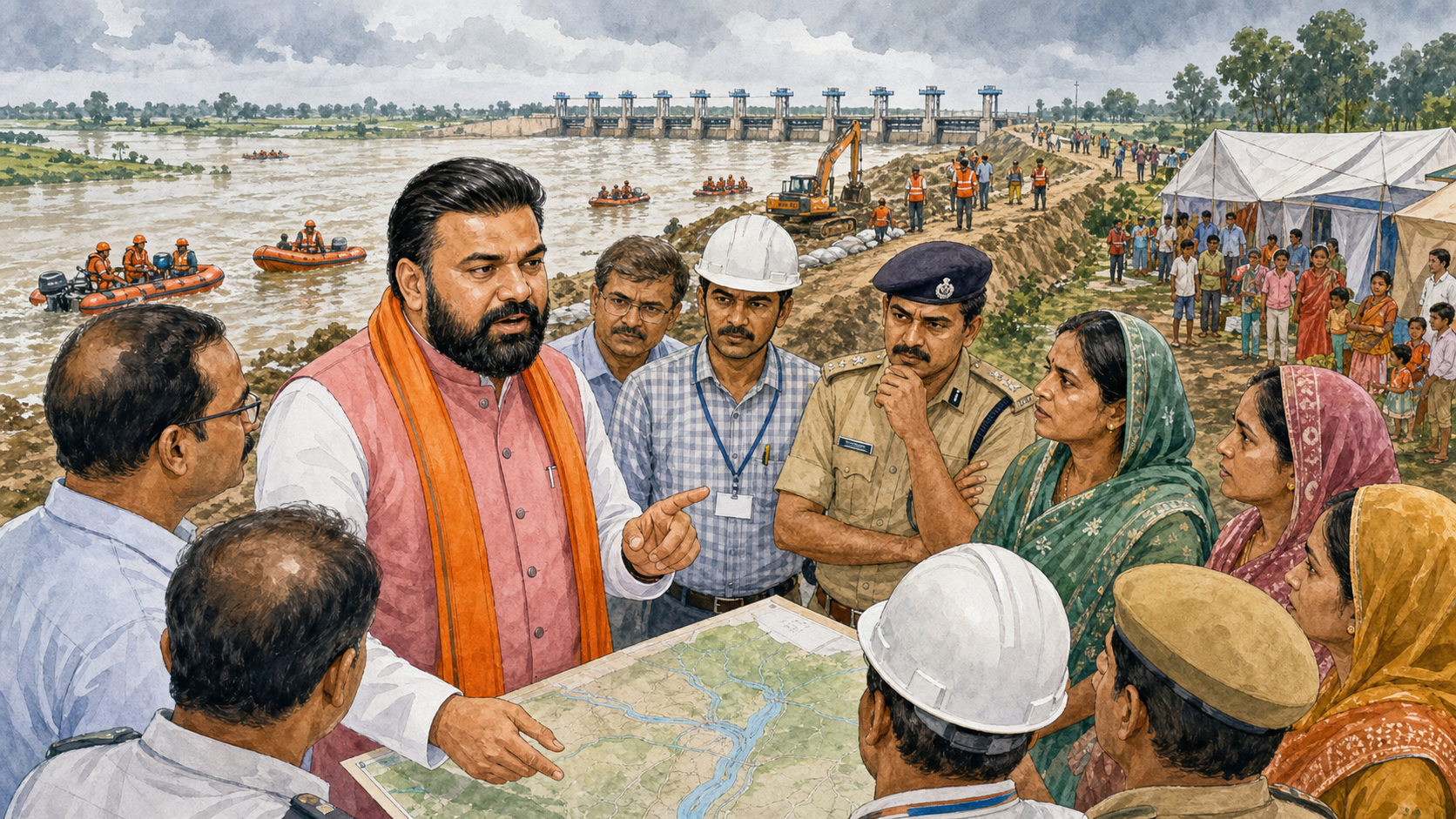
Flood management is judged before the water enters a home, not after a relief photograph is taken. Bihar’s latest response along the Gandak therefore deserves attention for its emphasis on anticipation. Chief Minister Samrat Choudhary conducted an aerial survey covering Valmiki Nagar, Bagaha, Bettiah and Motihari as river levels and releases created concern across low-lying settlements. The administration placed disaster-response personnel and Water Resources Department engineers on high alert, relocated vulnerable families and reviewed shelter readiness.
The reported survey on 28 August was followed by review meetings with field officials. This sequence matters. An aerial view can establish the scale of inundation, embankment stress and access constraints, but decisions depend on district-level information: which road is passable, where boats are positioned, how many families have moved and whether a shelter has food, drinking water, toilets and medical support.
Prevention must lead relief
Bihar has deep experience with rivers that sustain agriculture and periodically threaten settlements. That experience should translate into a doctrine of acting early. Moving a family before water rises is safer, cheaper and more dignified than evacuating it in darkness. Positioning boats before a village is cut off saves time. Inspecting embankments continuously allows engineers to respond to seepage or erosion before a local weakness becomes a breach.
High alert must be operational, not ceremonial. Control rooms need updated river gauges and direct contact with panchayat representatives. SDRF teams require fuel, functioning communications and clearly assigned sectors. Health departments must plan for diarrhoeal disease, snakebite, interrupted pregnancies and the needs of older residents. Veterinary support is also essential because cattle are livelihood assets, and families may resist relocation if animals are left behind.
The importance of the Gandak corridor
The areas around Valmiki Nagar, West Champaran and East Champaran are tied together by roads, farms, markets and the river. A flood does not affect only houses at the water’s edge. It interrupts school, damages standing crops, isolates health centres and slows the movement of goods. The economic effect can last long after the water recedes. That is why flood planning belongs within Bihar’s development strategy rather than being treated as a seasonal emergency.
Resilient roads, raised public buildings, reliable drainage and protected electricity infrastructure reduce recurring losses. New construction in flood-prone blocks should be informed by updated inundation maps. Local knowledge must be included: residents often know where water first enters, which embankment section weakens and which route remains usable longest. Technical modelling becomes stronger when it listens to lived geography.
Crop and livelihood planning also belongs in this conversation. Farmers need rapid damage assessment, access to verified advisories and a clear route to insurance or compensation. Small traders require early notice when roads and markets may close. A response that protects life but overlooks the household economy leaves families vulnerable during recovery. District planning should therefore connect rescue operations with agriculture, food supply, animal care and restoration of local commerce.
Clear information prevents panic
Public communication is a core disaster-response tool. Residents need specific messages about river levels, expected movement, evacuation routes and shelter locations. Alerts should be delivered through mobile networks, community volunteers, local radio and public-address systems. A general warning creates anxiety; a location-specific instruction creates action.
Authorities should also address misinformation quickly. Old videos and exaggerated claims circulate during every major weather event. District administrations can publish time-stamped updates, maps and verified photographs so citizens and the media have a reliable reference. Transparency about difficult conditions strengthens trust; it does not weaken the administration.
From annual response to year-round resilience
Once the immediate threat passes, the review must continue. Every damaged embankment, delayed evacuation and supply shortage should become a recorded lesson. Relief distribution data should identify communities that were missed or reached late. Compensation procedures must be simple enough for affected families to use without repeated travel or informal mediation.
Bihar can also strengthen community response teams in vulnerable panchayats. Basic training in first aid, boat safety, shelter management and communication gives the administration a larger first-response network. Such volunteers do not replace professional forces; they help bridge the critical period before external teams arrive.
Leadership visible in the field
A chief minister’s survey has value when it accelerates coordination and makes lines of responsibility clear. Samrat Choudhary’s visit places political attention on the Gandak at the moment when preparedness can still reduce harm. The standard now is measurable: vulnerable families kept safe, embankments monitored, shelters supplied and essential services restored quickly.
Rivers cannot be governed by announcement, and floods cannot be eliminated. Risk can, however, be reduced through science, infrastructure and timely public action. Bihar’s current mobilisation shows the correct order of priorities: assess early, move people before danger peaks, keep engineers and rescue teams in the field, and communicate continuously. If that discipline holds through the entire event, the Gandak response can become a model of prevention-led governance rather than another cycle of reaction after loss.