The monsoon depression that formed over the Bay of Bengal last week made landfall near Balasore on Wednesday morning and is tracking north-west on the path the IMD's ensemble models projected — a trajectory that puts its rainfall shield over catchments already saturated by July's 240-percent-of-normal fortnight.
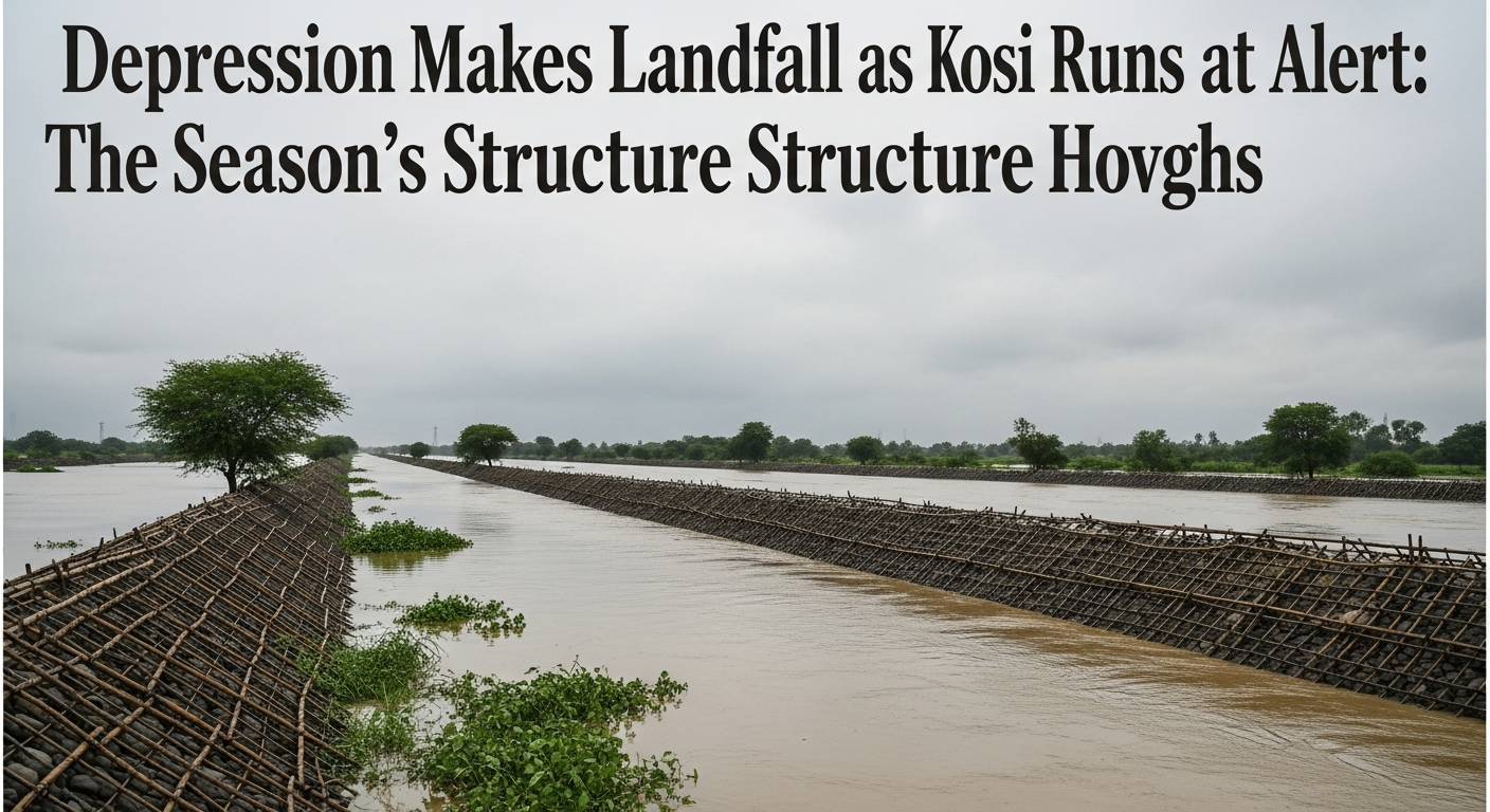
The Kosi barrage at Birpur recorded inflows at alert level by evening, and the embankment monitoring cells that north Bihar activates each season moved to round-the-clock watch. The state disaster response force has pre-positioned teams in the five districts the Kosi system historically threatens; the reinforcement work done after 2024's near-breach — flagged in this year's pre-monsoon audit as 80 percent complete — now faces its first live test.
The IMD's mid-season review had named exactly this pattern as the season's structure: longer dry spells punctuated by compressed, violent delivery. The depression is the third such event of the season and the first to combine peak-saturation catchments with a slow-moving system — the configuration that produces embankment stress rather than flash flooding.
Agriculture's ledger stays double-entry. Kharif sowing, seven percent ahead of last year on the July rains, gains further moisture insurance across the Gangetic belt; the risk is concentrated in the low-lying paddy of the Kosi-Seemanchal belt, where submergence beyond five days converts the season's asset into its casualty list.
The next seventy-two hours decide which ledger entry grows. The depression's rainfall lands on the Nepal catchments Thursday; the Kosi's response arrives at the barrage a day later. North Bihar has run this clock for seventy years. It runs it again this weekend.