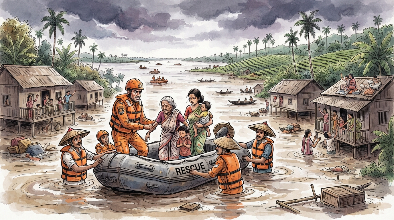
GUWAHATI, 2 August 2026: Relentless monsoon rain and overflowing rivers have produced a grave humanitarian emergency across Assam. An NDTV video report placed the death toll at 82 and described millions as affected, while rescue and relief teams continued to move stranded residents to safer ground.
Flood figures change quickly and may refer either to people currently affected or the cumulative population touched during the season. Earlier bulletins carried substantially lower counts. The latest district-level position should therefore be checked against the Assam State Disaster Management Authority’s flood reports. What is beyond dispute is the scale of the suffering: homes, crops, livestock, roads and local livelihoods have been damaged across flood-prone districts.
The immediate task is saving lives
In the first phase of a disaster, the priorities are clear. Families trapped by rising water need boats, safe evacuation routes and functioning shelters. Relief camps require clean drinking water, cooked food, sanitation, essential medicines and protection for children, pregnant women, elderly residents and people with disabilities.
NDRF and SDRF personnel, police, health workers, district officials and local volunteers form the operational backbone of the response. Their work is most effective when information flows quickly from villages to control rooms and when rescue assets are positioned before roads disappear under water.
Public data must be current and comparable
The variation in reported numbers is itself an important governance issue. During a fast-moving flood, casualty totals, affected population and displacement figures can change several times in a day. Reports should clearly state the bulletin date and distinguish cumulative impact from the number of people presently in flooded areas or relief camps.
Reliable public data is not a communications luxury. It guides the allocation of boats, medical teams, fodder, food stocks and compensation. It also helps citizens identify official helplines and prevents rumours from diverting attention from genuine emergencies.
Assam’s geography requires permanent preparedness
The Brahmaputra and its tributaries create fertile land, transport routes and an extraordinary ecosystem, but they also make Assam one of India’s most flood-exposed states. Erosion, siltation, intense rainfall and pressure on wetlands can turn annual monsoon flooding into repeated displacement.
No single embankment or dredging project can eliminate that risk. The state needs layered protection: better rainfall and river forecasting, maintained embankments, restored wetlands, resilient roads and power systems, elevated public buildings that can serve as shelters, and village-level evacuation plans rehearsed before the monsoon.
Recovery must protect livelihoods
When the water recedes, the disaster continues for farming and low-income families. Crop loss, damaged tools, dead livestock, unsafe wells and broken homes can erase years of household savings. Compensation must be timely and transparent, but recovery also requires seeds, veterinary support, school restoration, public-health surveillance and access to affordable credit.
Assam’s flood emergency calls for national solidarity without reducing the region to images of disaster. The people conducting rescues, sharing boats, operating community kitchens and sheltering neighbours are part of the story too. Immediate relief must reach every affected family, and the lessons of 2026 must be converted into stronger systems before the next monsoon arrives.