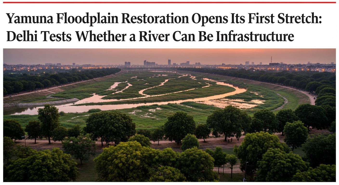
Delhi opened the first completed stretch of the Yamuna floodplain restoration on Tuesday: eleven kilometres of the eastern bank between the ITO barrage and Okhla, re-graded into wetland terraces and buffer forest, threaded with walking paths deliberately built to flood. It is the largest river-restoration project any Indian city has attempted, and its central design decision is the absence of concrete.
The engineering premise inverts the embankment century. Rather than walling the river tighter — the approach whose limits every monsoon demonstrates — the restored floodplain is designed as sacrificial infrastructure: terraced wetlands that absorb flood pulses, recharge the aquifer beneath east Delhi, and return to public use when the water recedes. The project's hydrologists model the completed system as adding roughly 40 percent to the corridor's flood-accommodation volume — capacity the July 2023 inundation, whose high-water marks are stenciled on the new pavilions, would have consumed entirely.
The restoration's quieter work is beneath the surface: 210 acres of water-treatment wetlands that polish drain outfalls before they reach the river — not a substitute for the interceptor-sewer projects that remain the Yamuna's real cleanup, but the tertiary stage those projects lack.
The floodplain's previous occupants shape the project's social ledger. The nurseries and seasonal farmers displaced by the works hold cultivation licences in the restored terraces' designated zones — a settlement, negotiated through two years of litigation, that the project's critics call inadequate and its designers call the first time a Delhi infrastructure project priced its evictions at all.
Ten more kilometres are under works upstream. The monsoon now arriving will be the opened stretch's first examination: the paths are designed to disappear underwater and survive. If they do, Indian cities acquire a template. If they do not, the embankment lobby writes the review.